
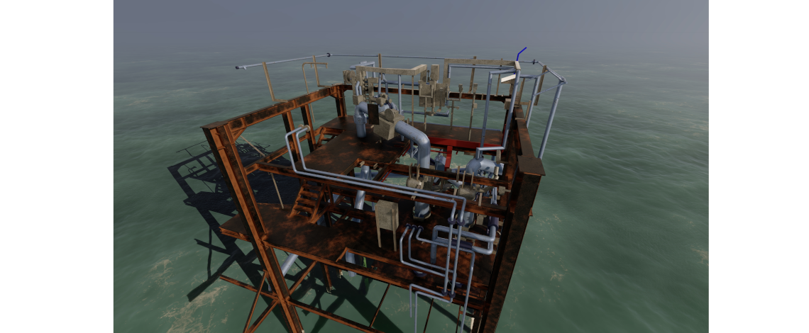
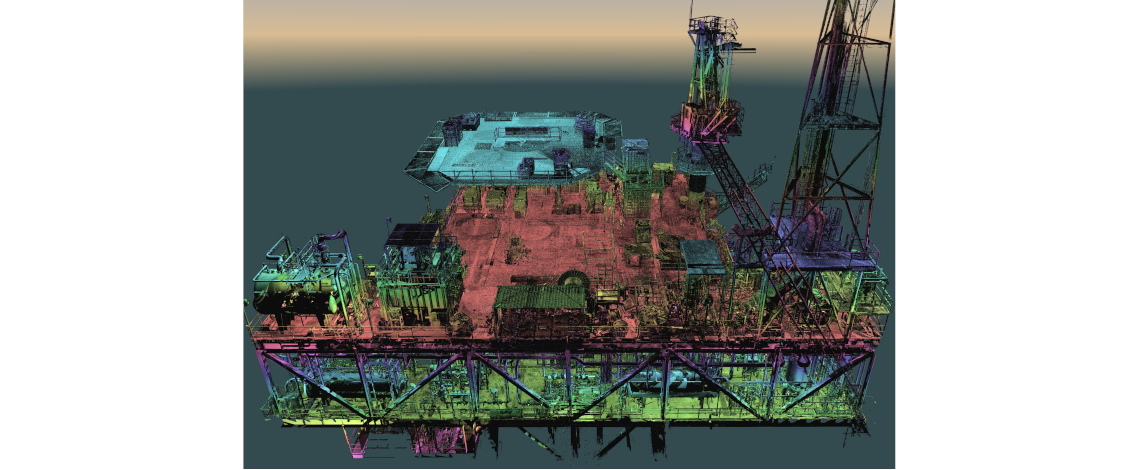
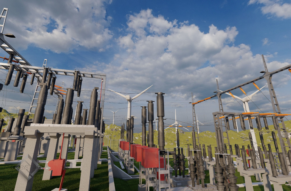
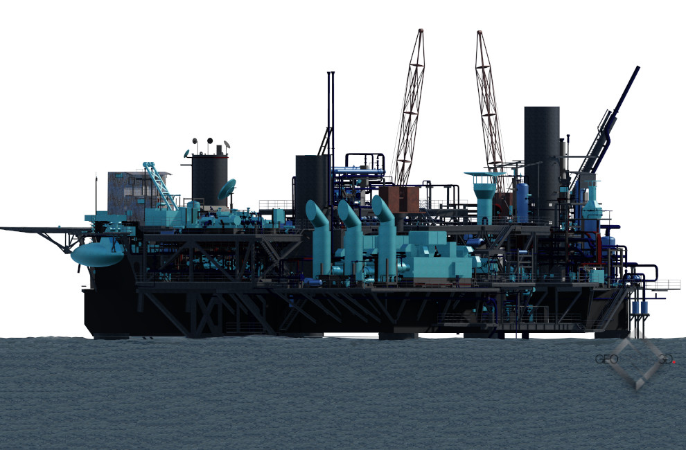
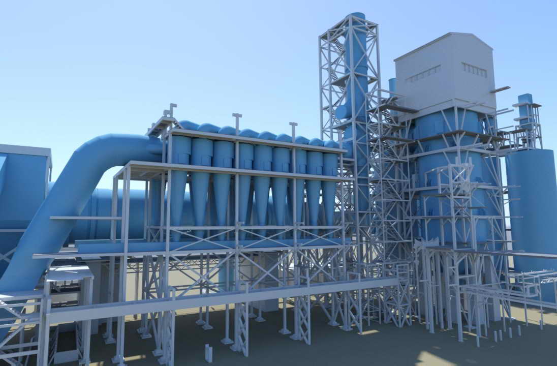
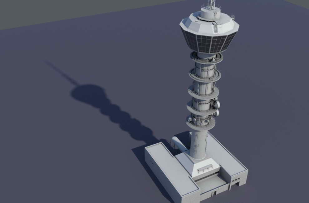
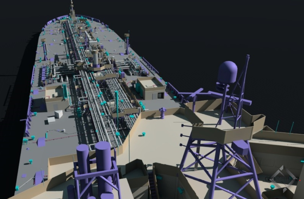
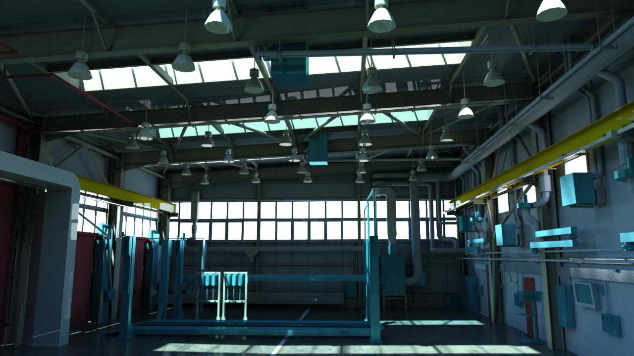
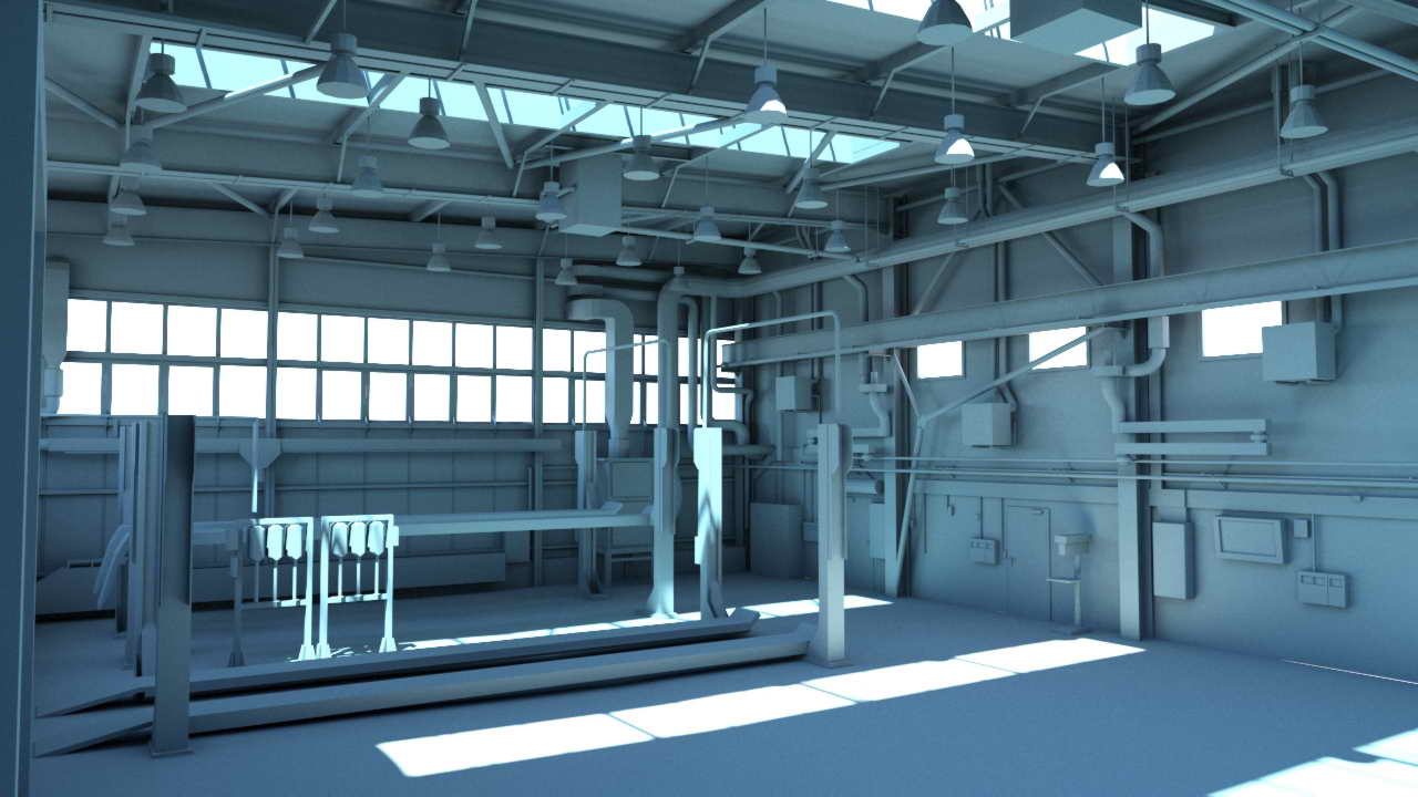
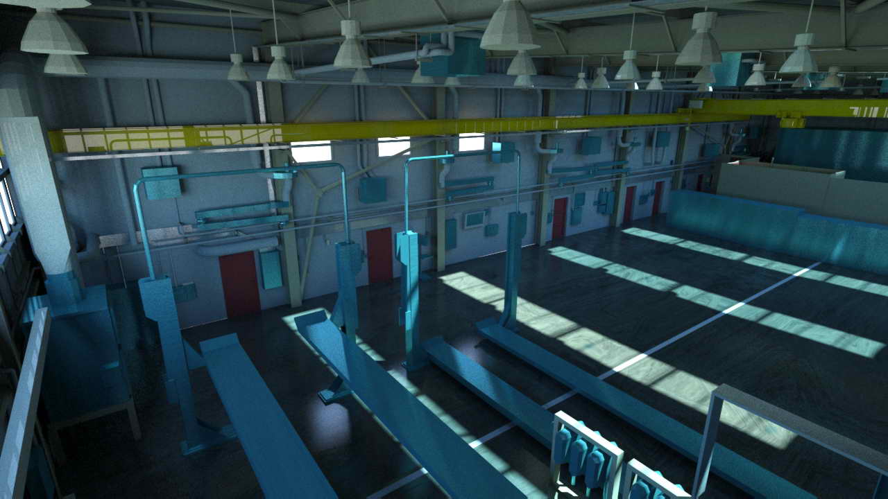
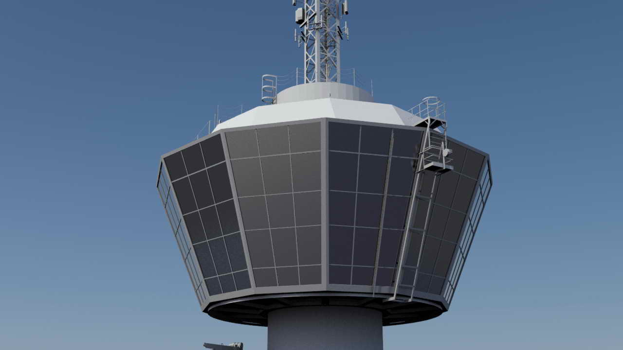
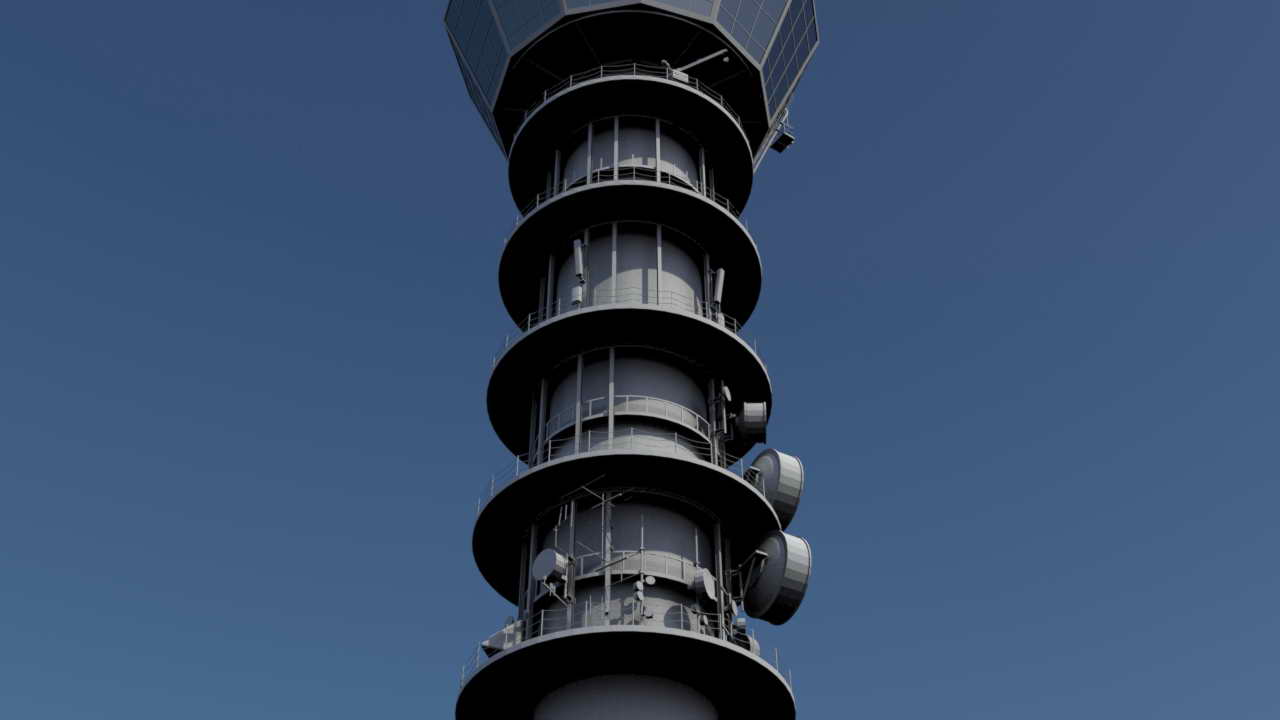
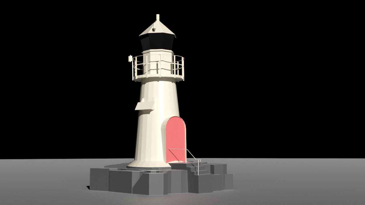
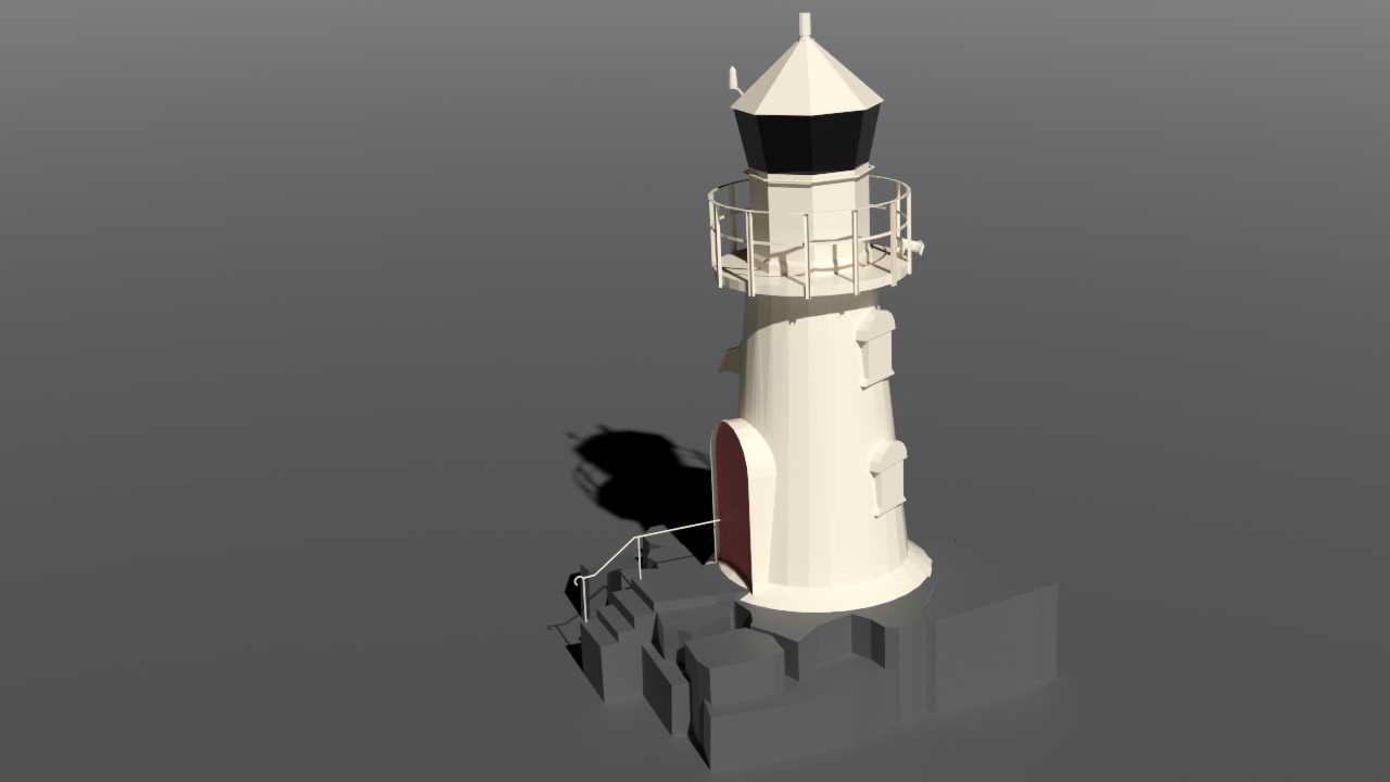
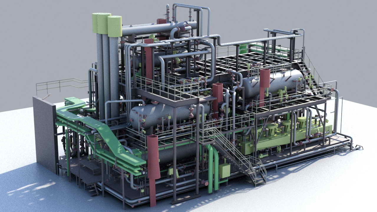
The offshore sector, driven by the dynamic growth of maritime transport, the introduction of legal regulations concerning ballast water and sediments (BWM Convention), as well as the rapid development of the extraction industry and wind farms, requires increased involvement from design offices, contractors, and service companies alike. Laser scanning measurement technology offers effective solutions for inventorying both installations and maritime transport units.
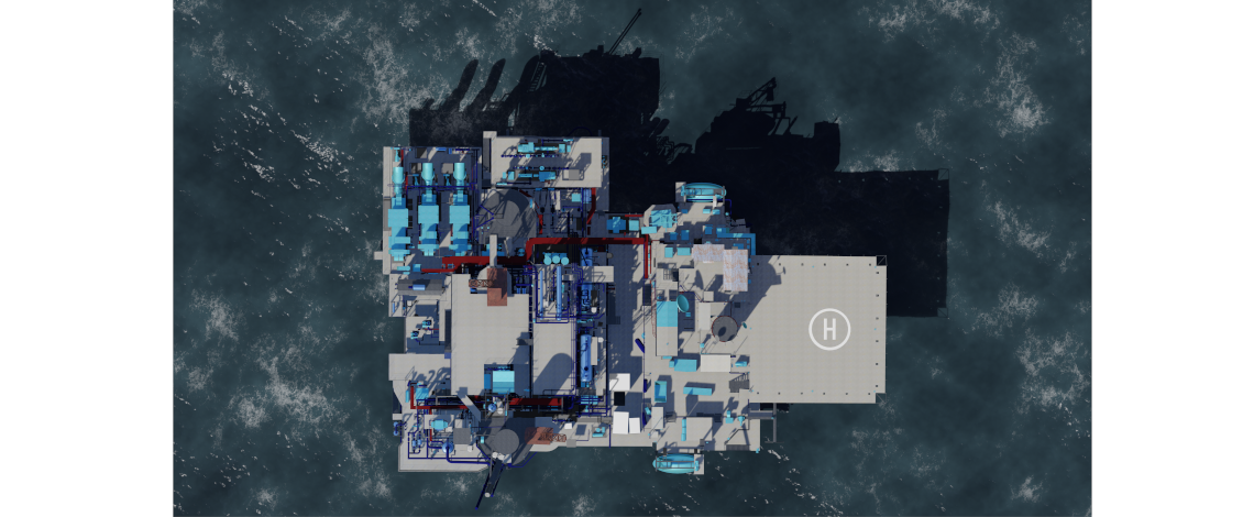
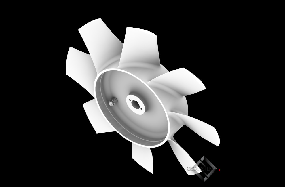
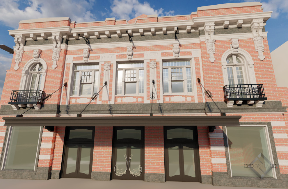
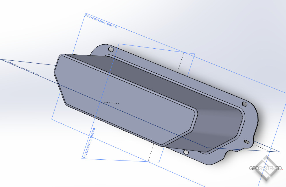
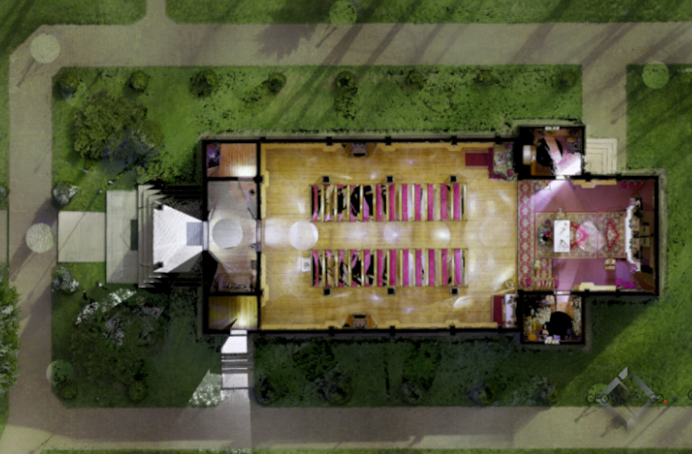
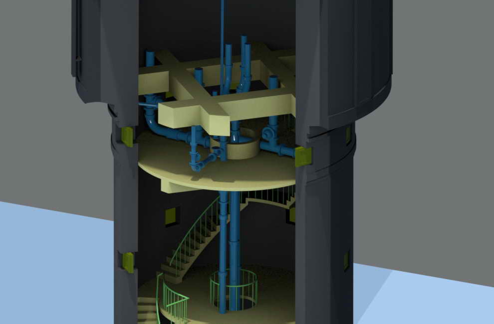
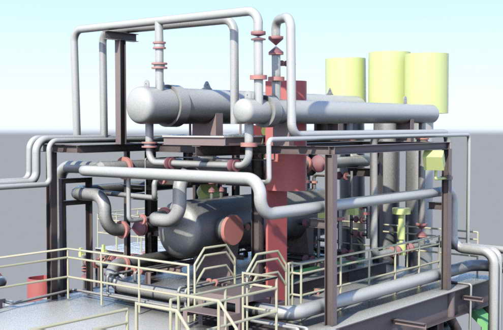
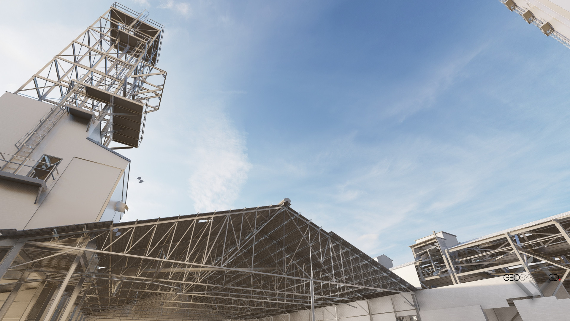
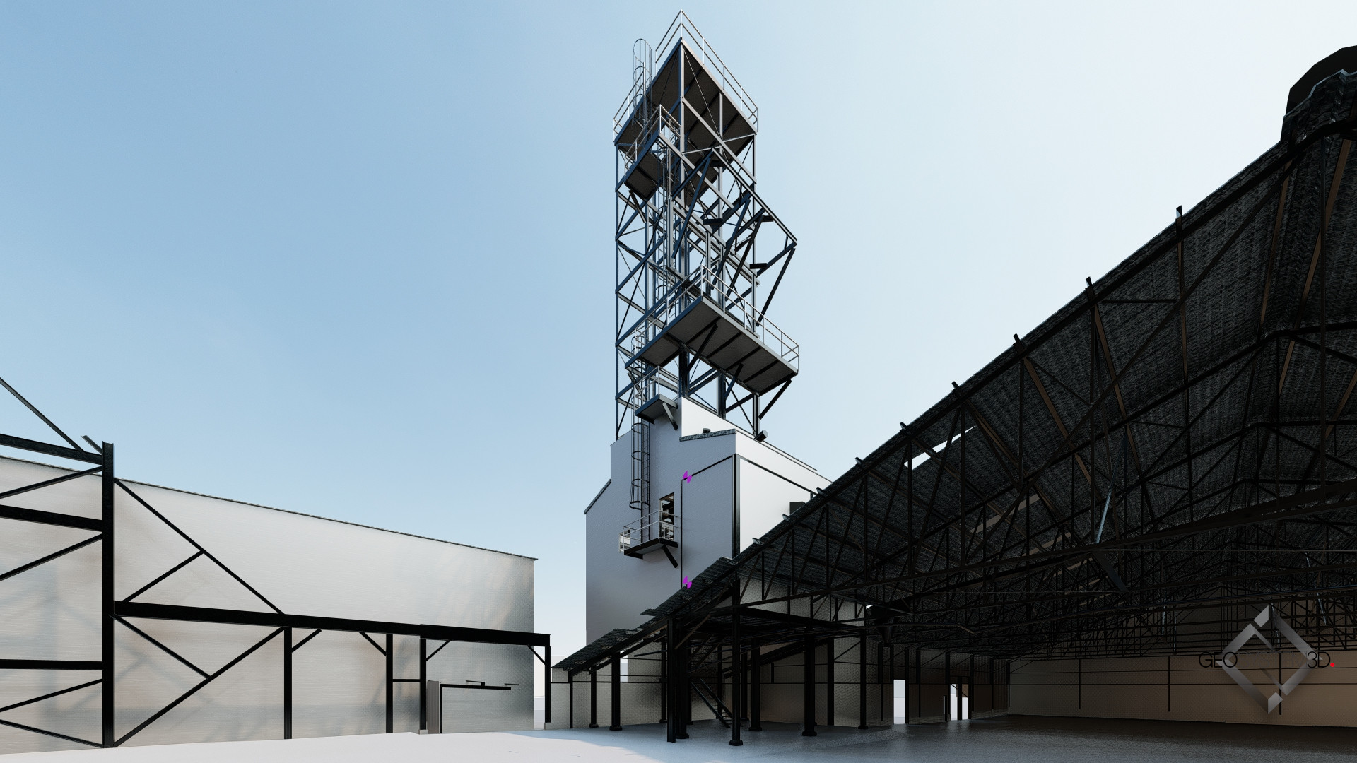
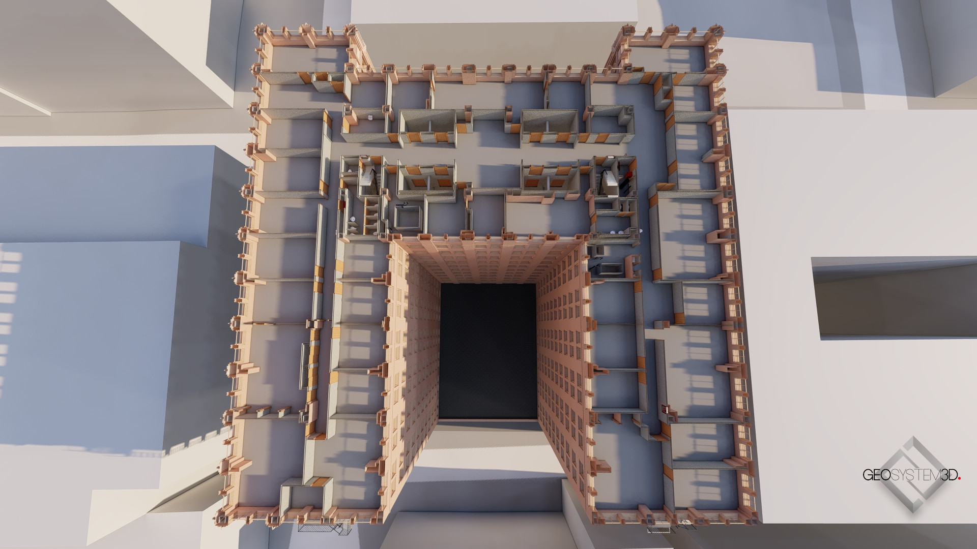
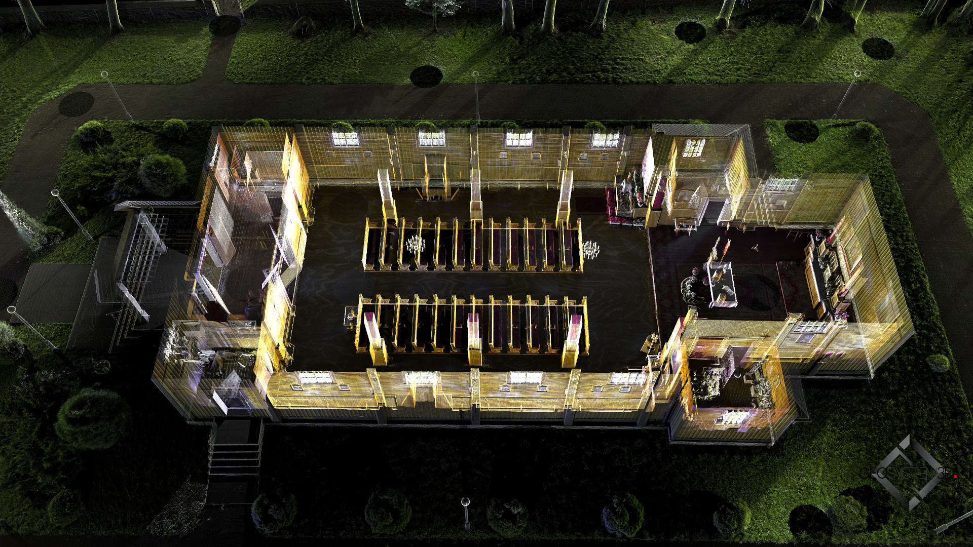
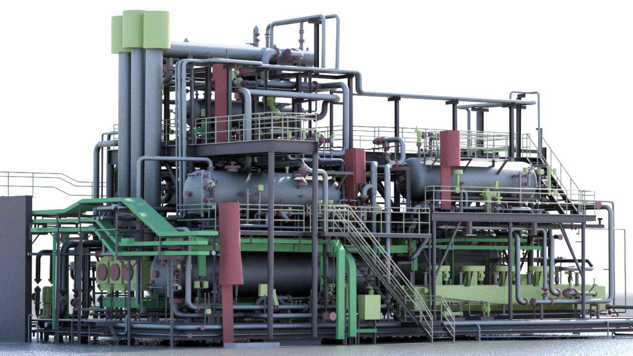
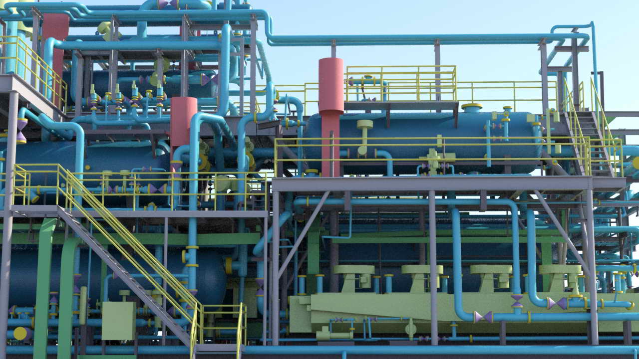
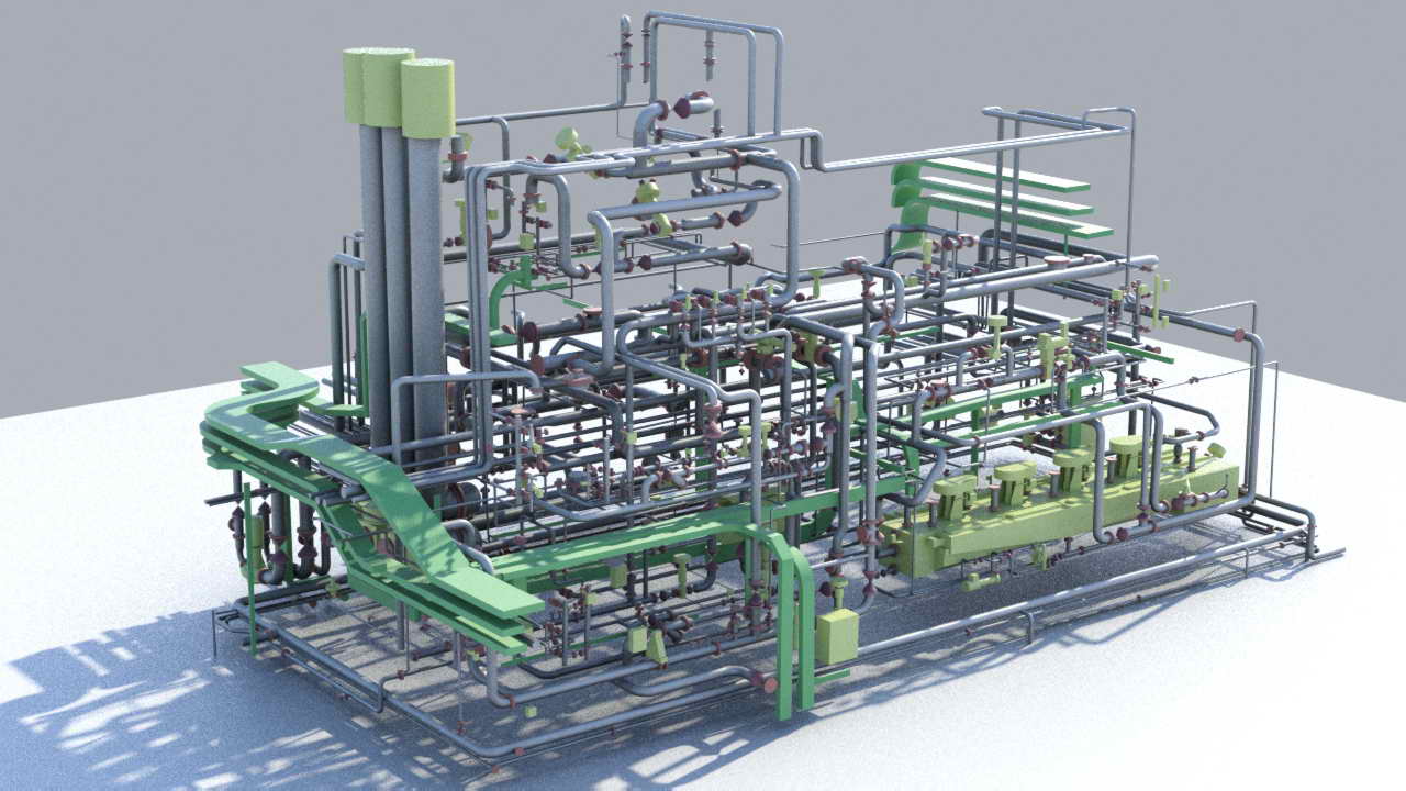
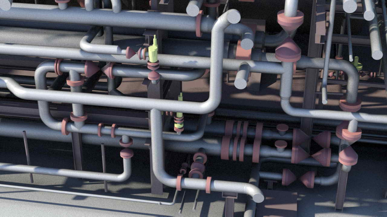
Preparing project documentation based on the current state of the asset enables optimization, collision detection, and cost estimation. Accurate measurement data allow for the creation of a detailed model that serves as the foundation for precise calculations and assessments. Moreover, during the lifecycle of extraction installations, numerous modifications, repairs, and custom adaptations to new equipment and networks take place.
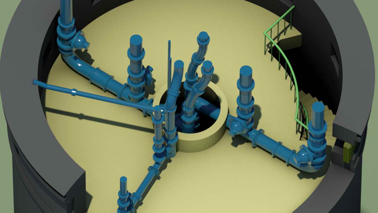
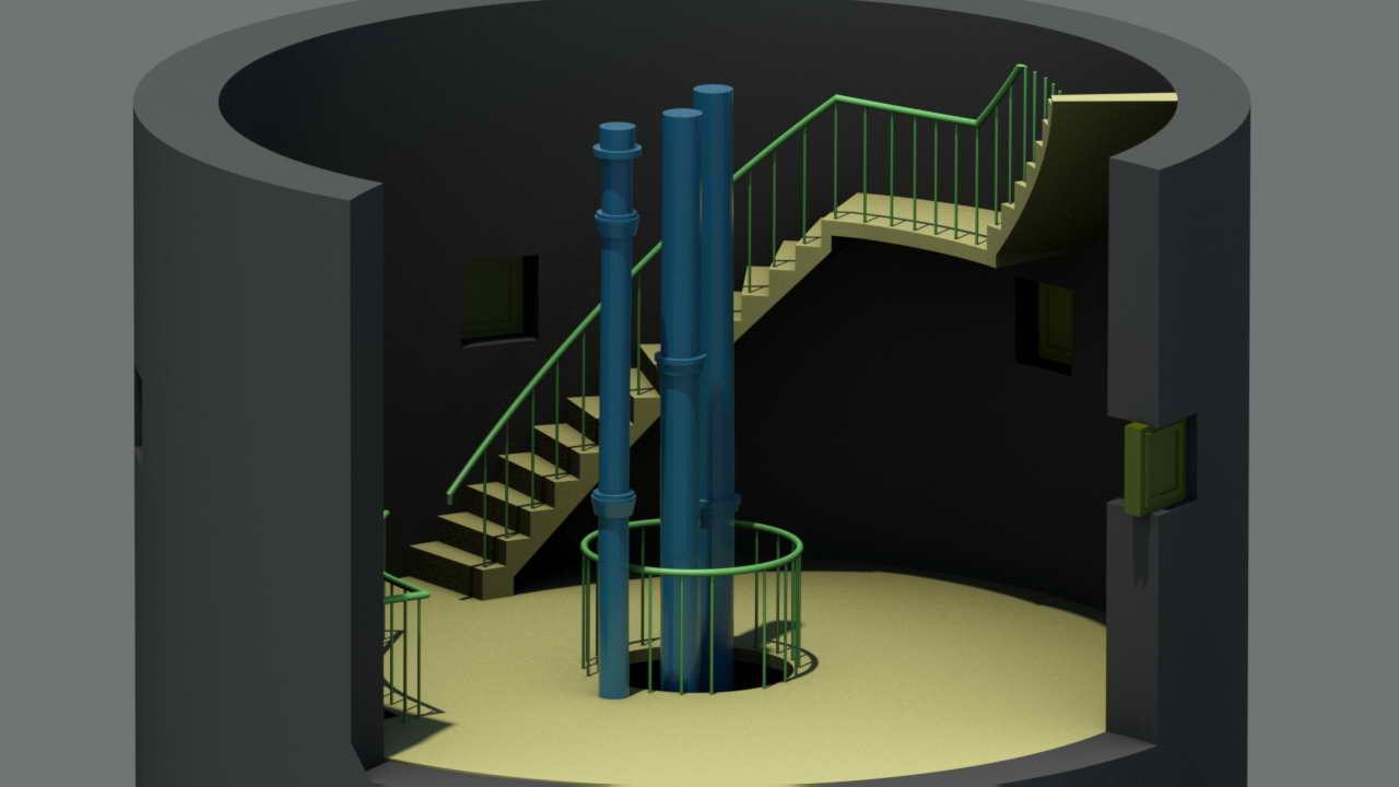
For vessels, it is crucial to inventory and analyze ballast tanks, where systems for treating seawater and sediments are currently being installed.
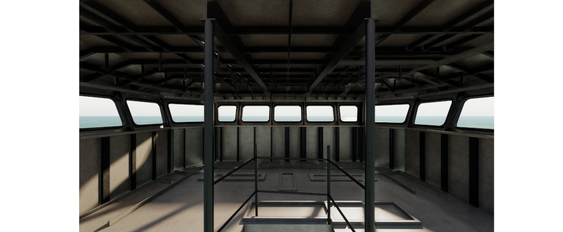
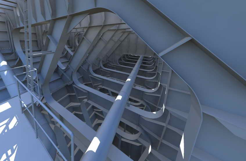
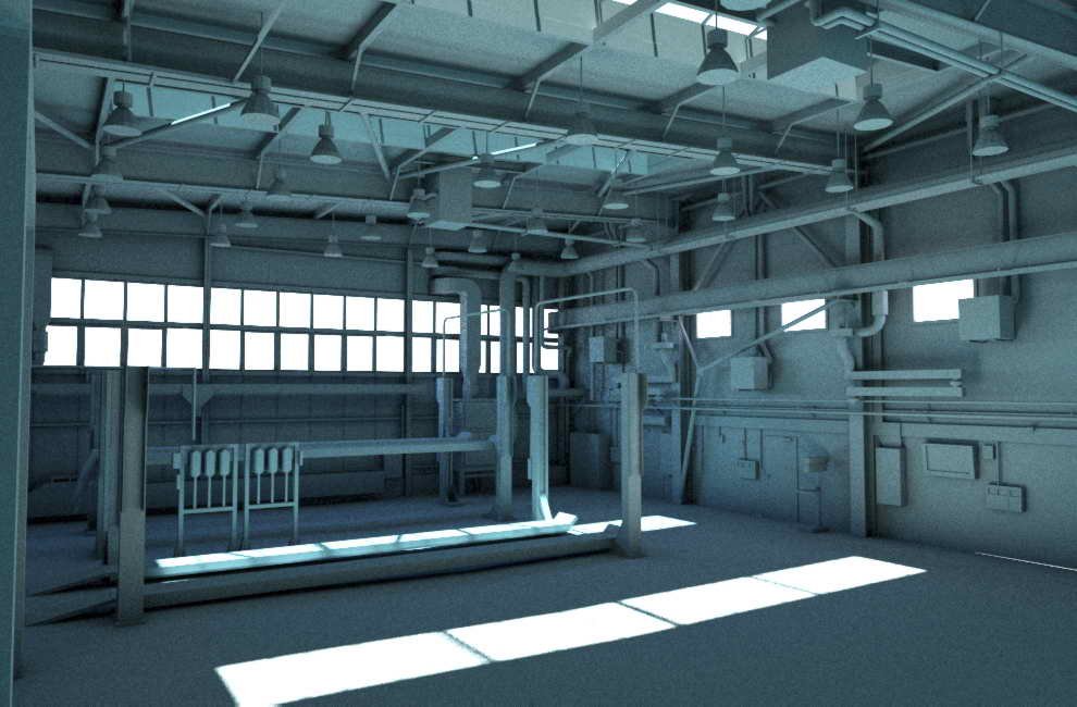
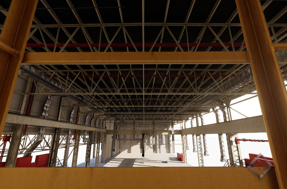
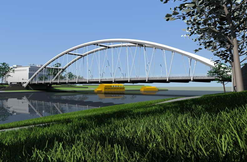
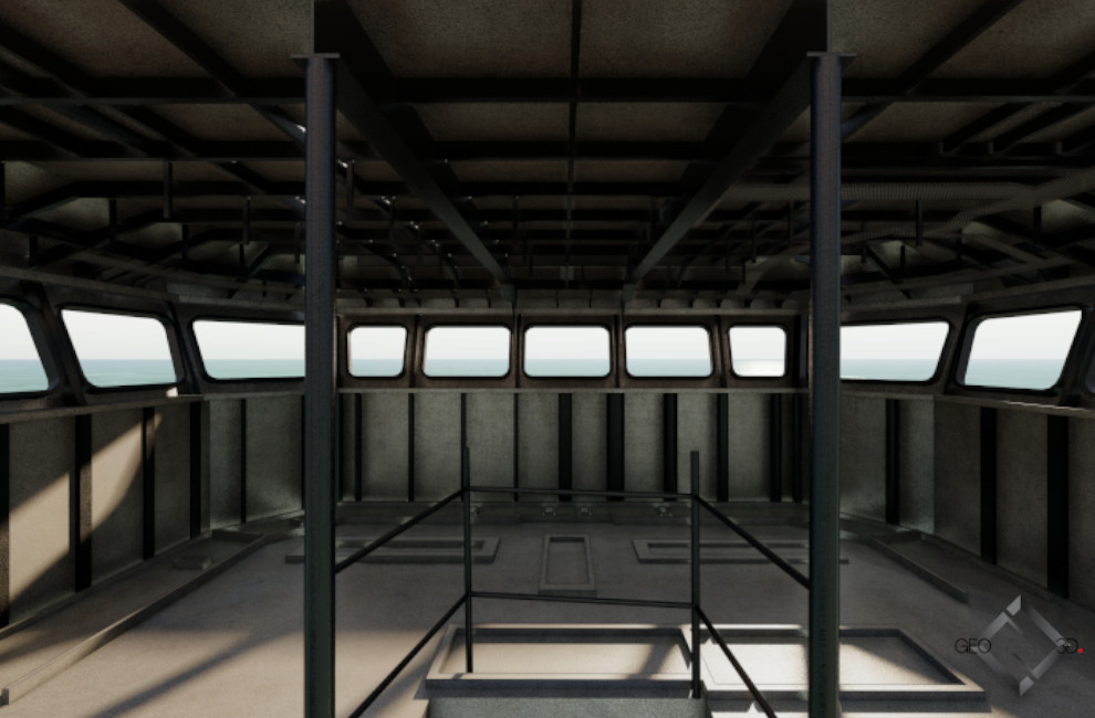
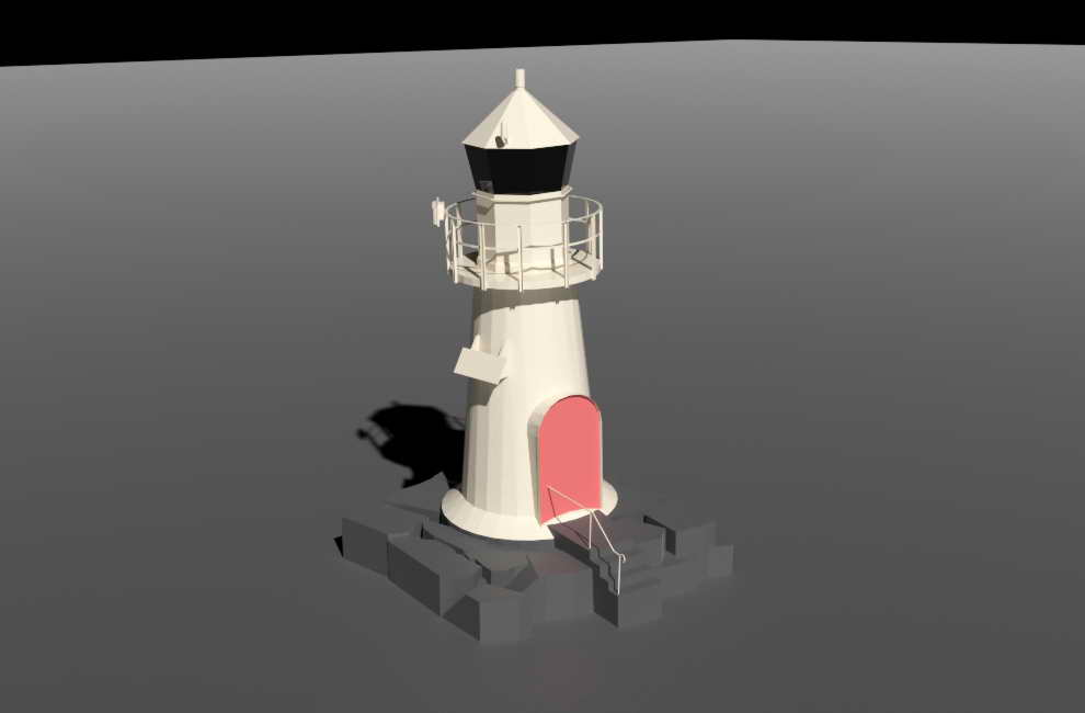
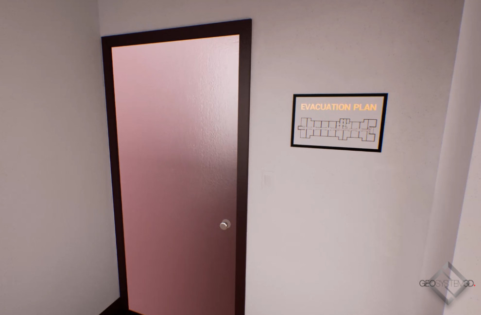
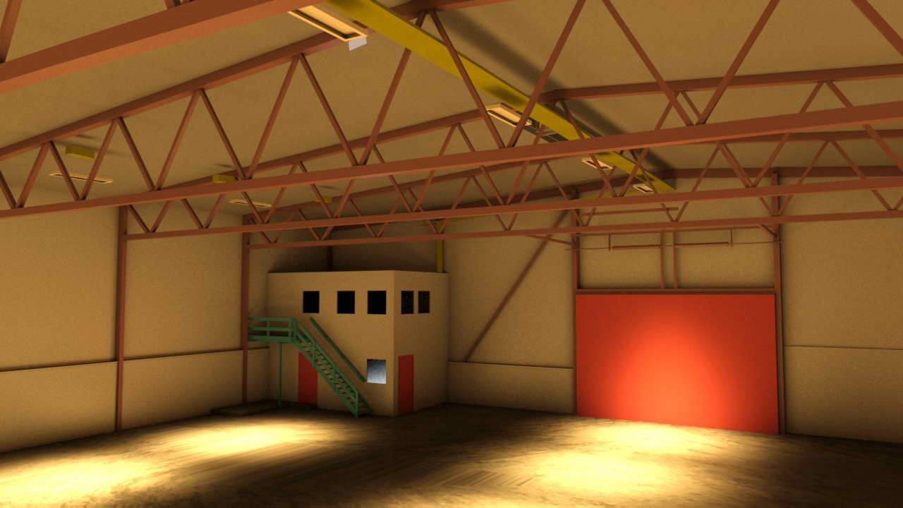
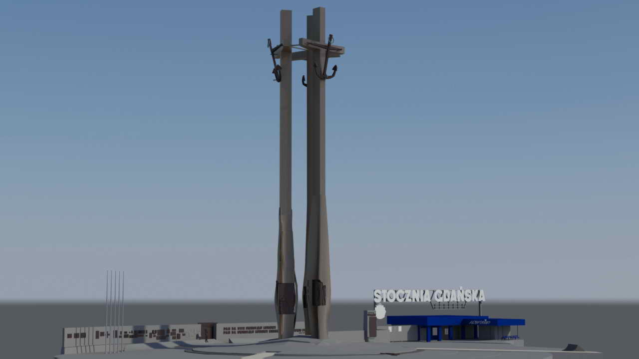
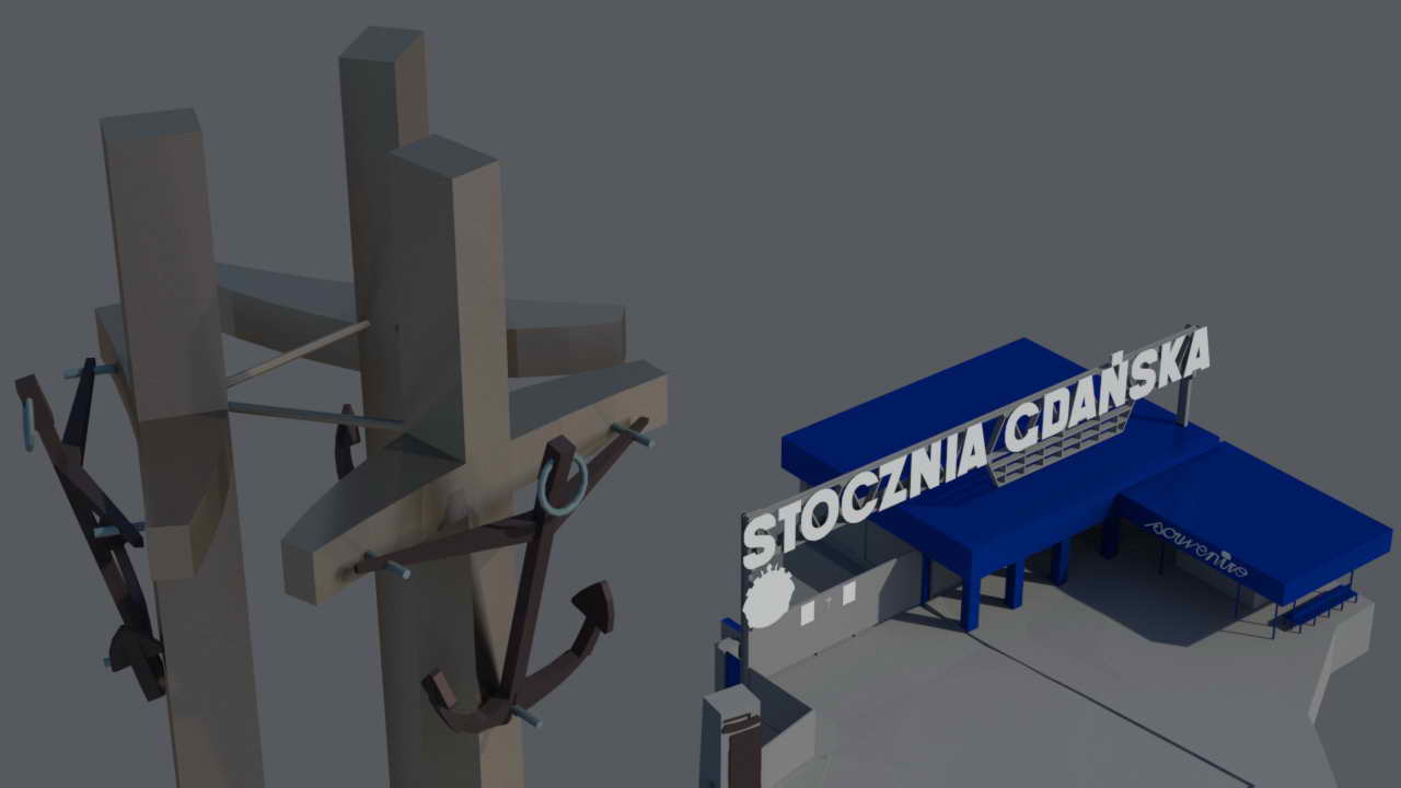
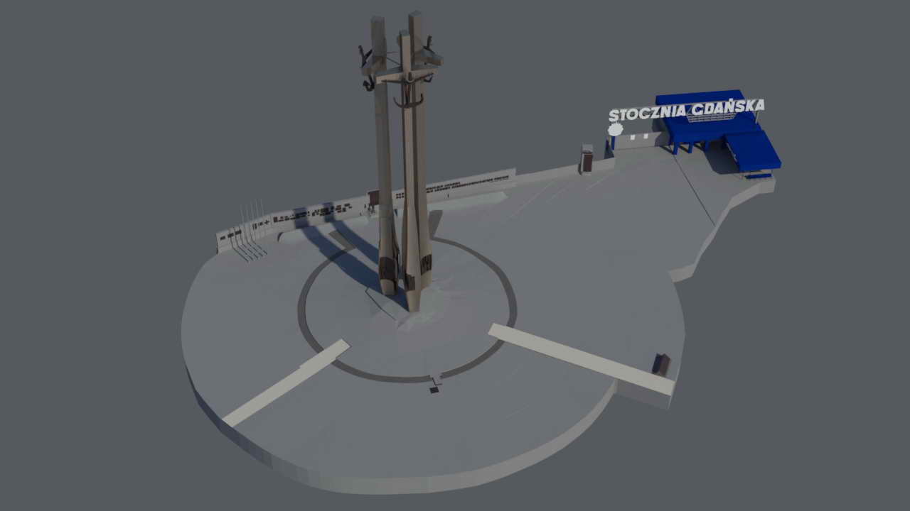
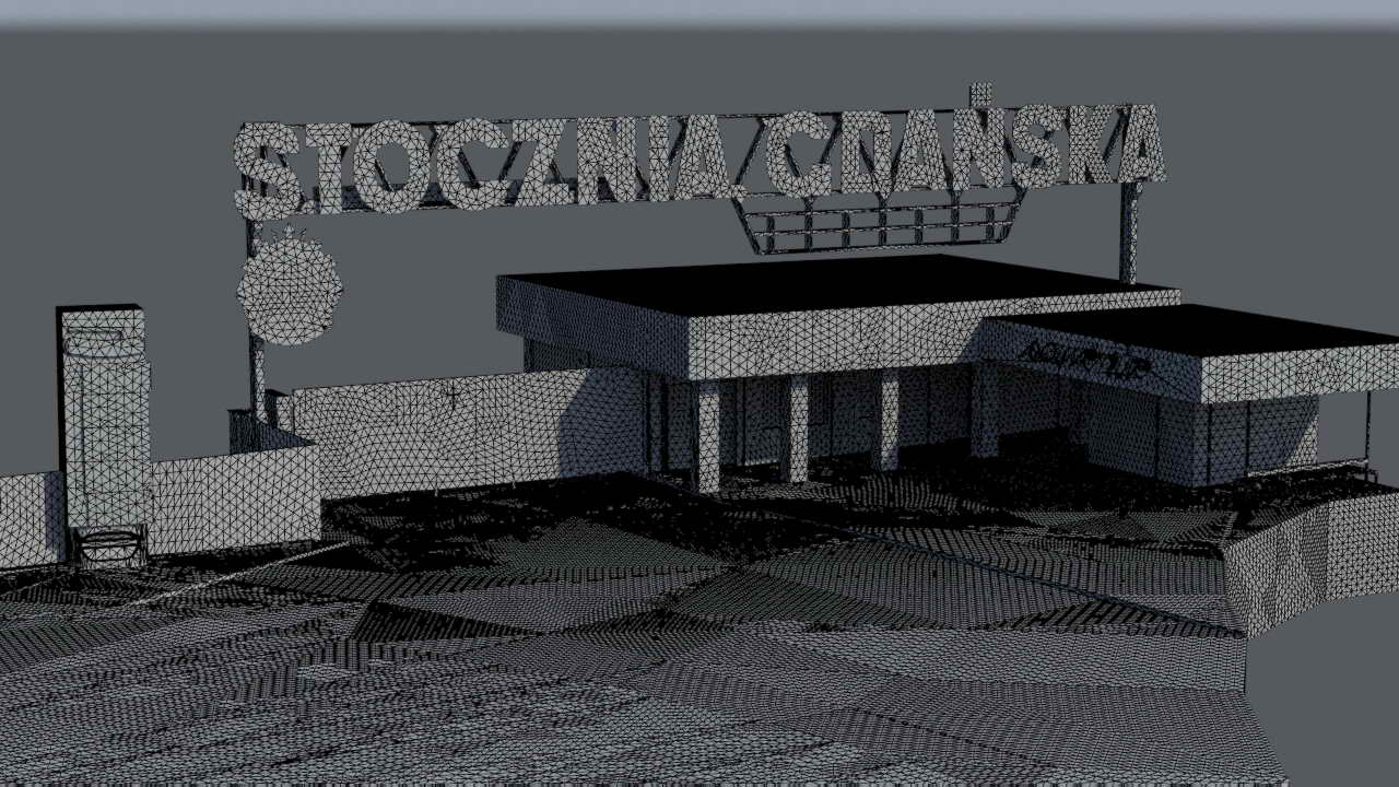
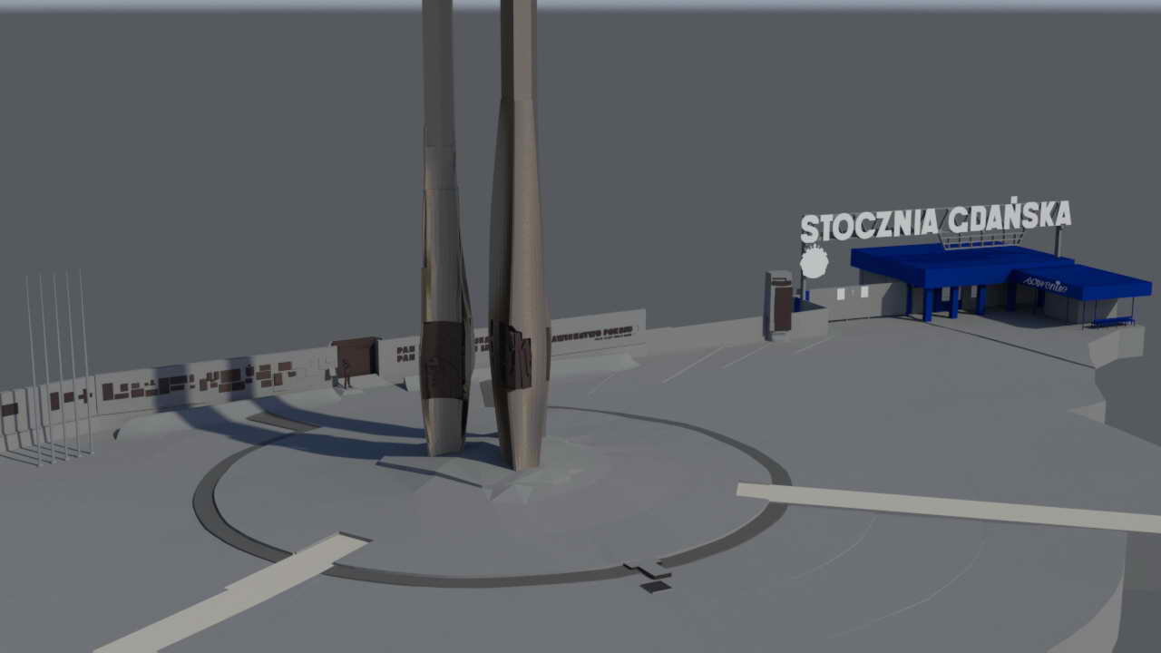
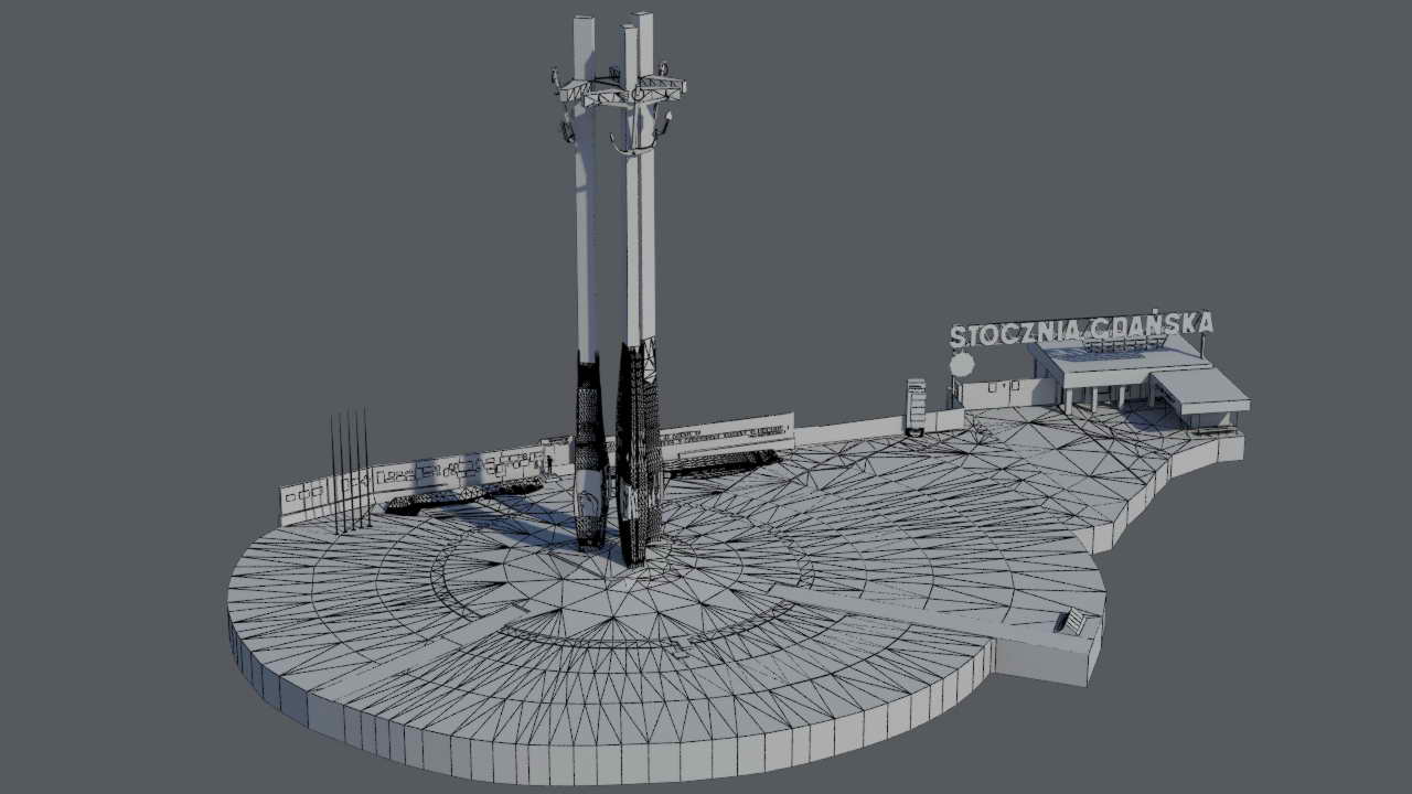
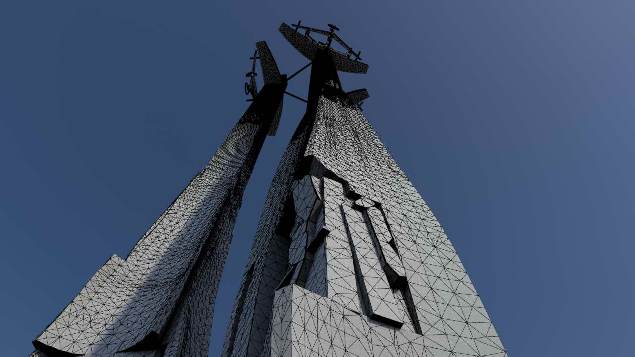
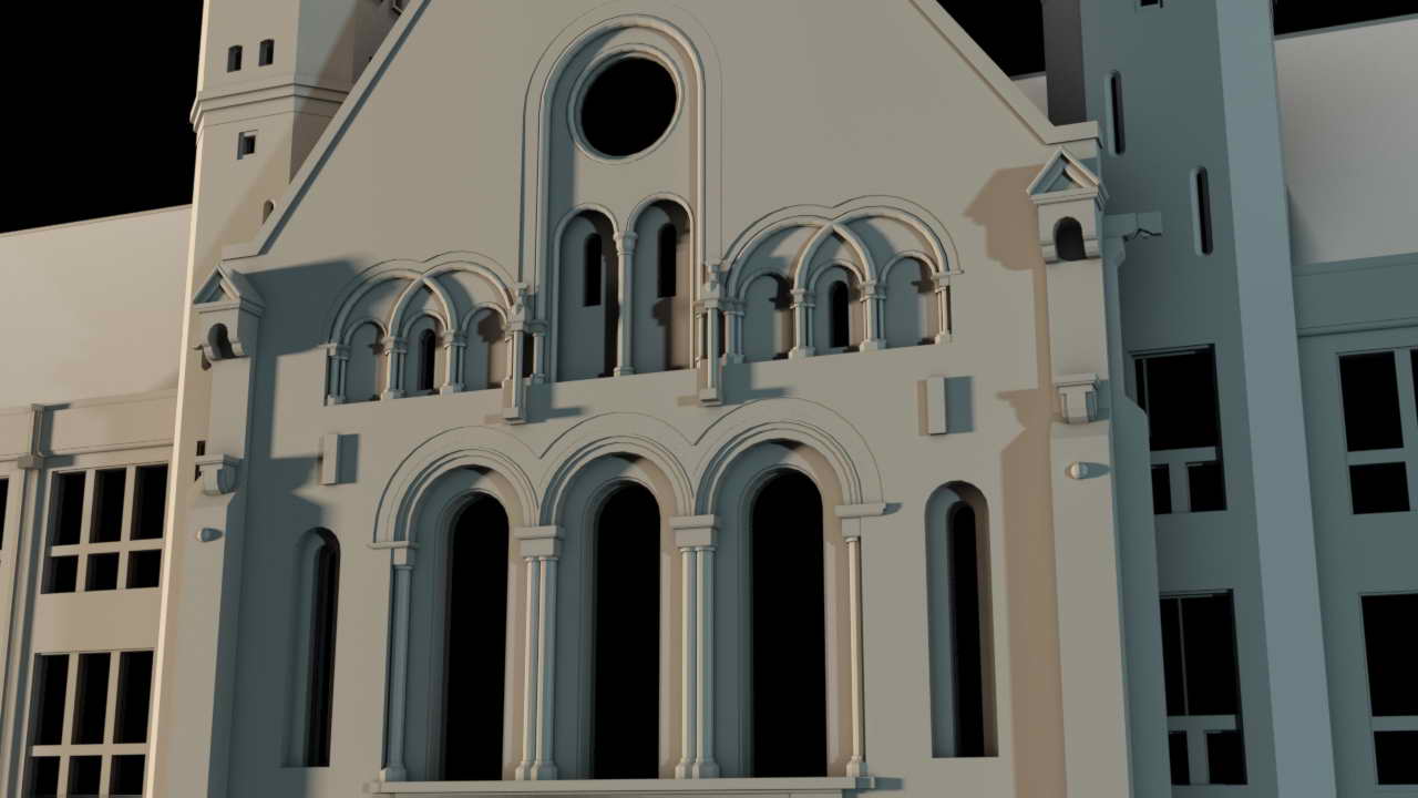
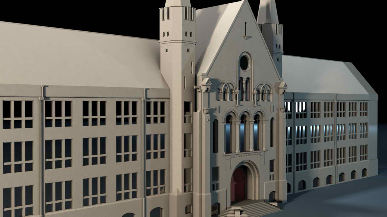
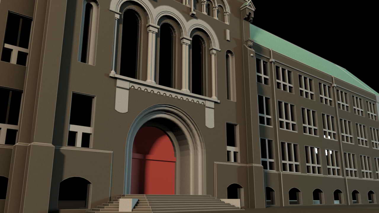
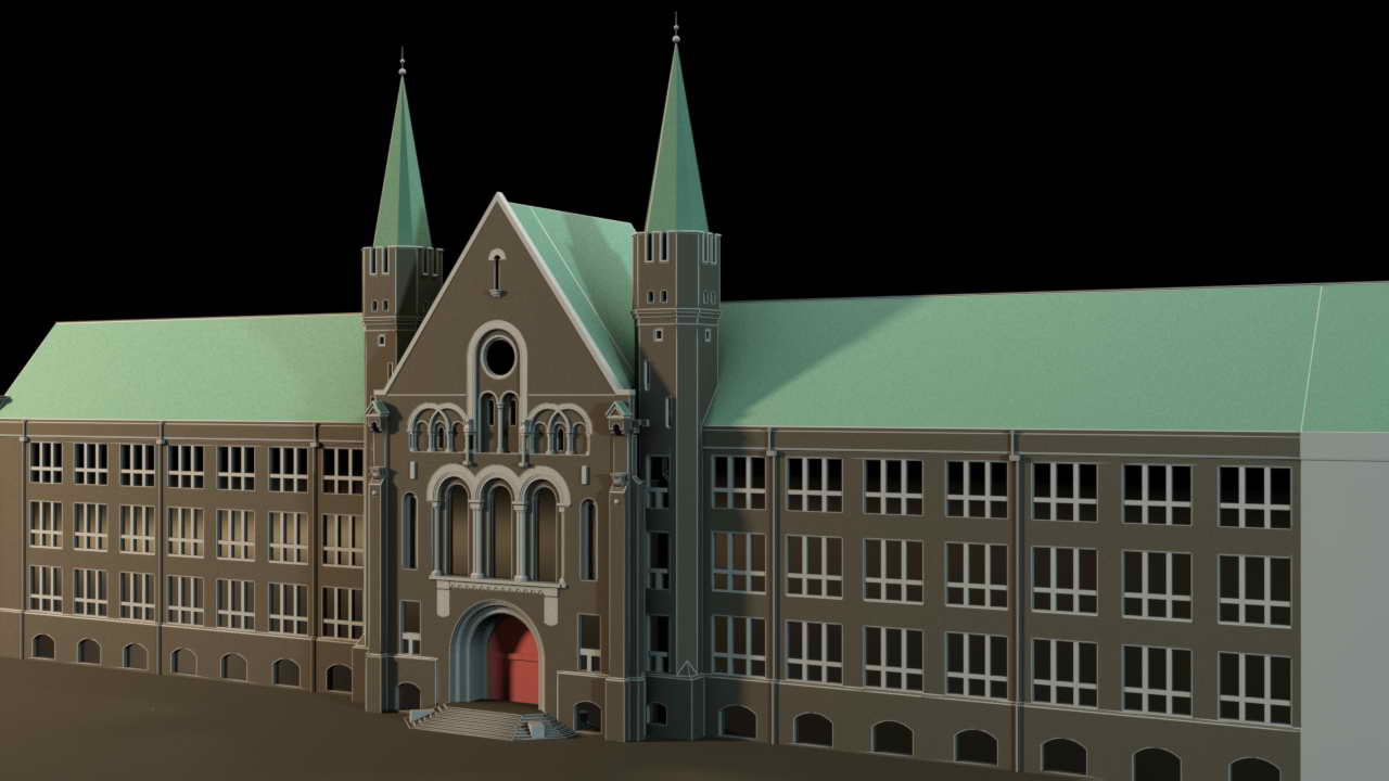
The use of laser scanning also brings tangible benefits when inventorying structures exposed to harsh marine conditions. Conducting measurements quickly, without prolonged interference with the asset’s operation, allows for data acquisition that can be processed and analyzed over several days. It is also possible to produce 2D documentation and a 3D model, which can be utilized, for example, in building monitoring and control systems based on sensor networks and measurement devices leveraging Digital Twin technology.
Laser scanning and photogrammetry do not interfere with the structure of the asset nor disrupt the operation of installations or equipment.
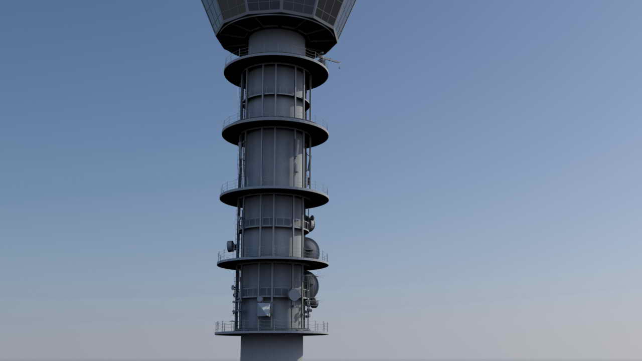
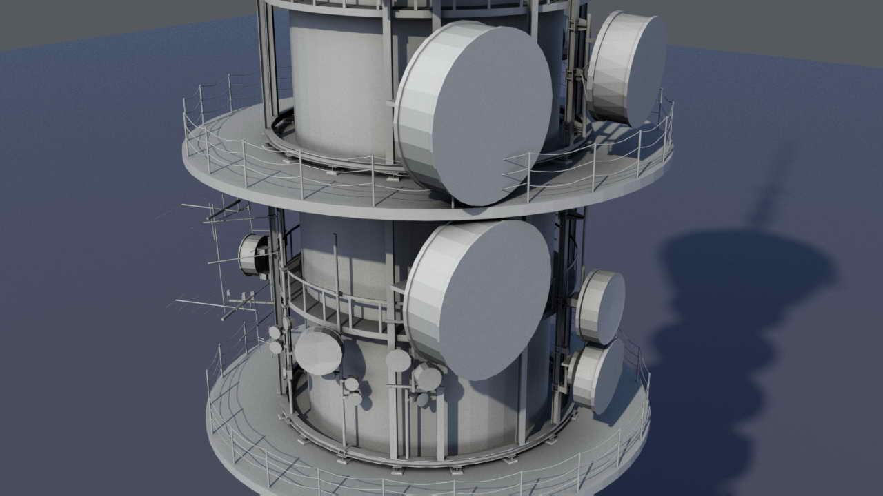
Enables measurement of hard-to-access areas while ensuring operator safety by conducting measurements from a safe distance.
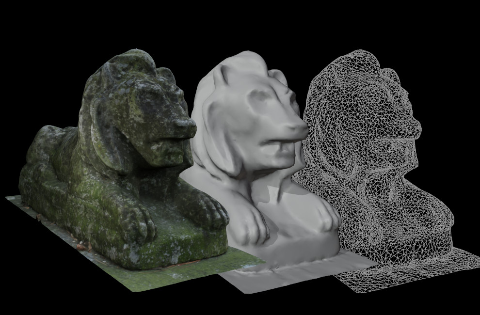
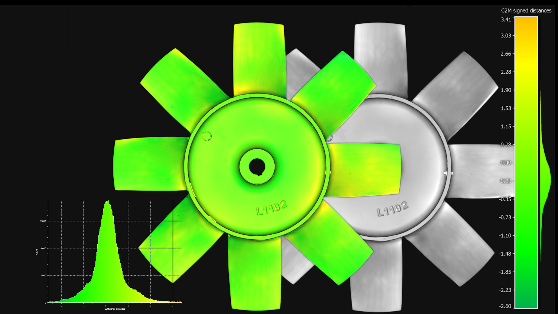
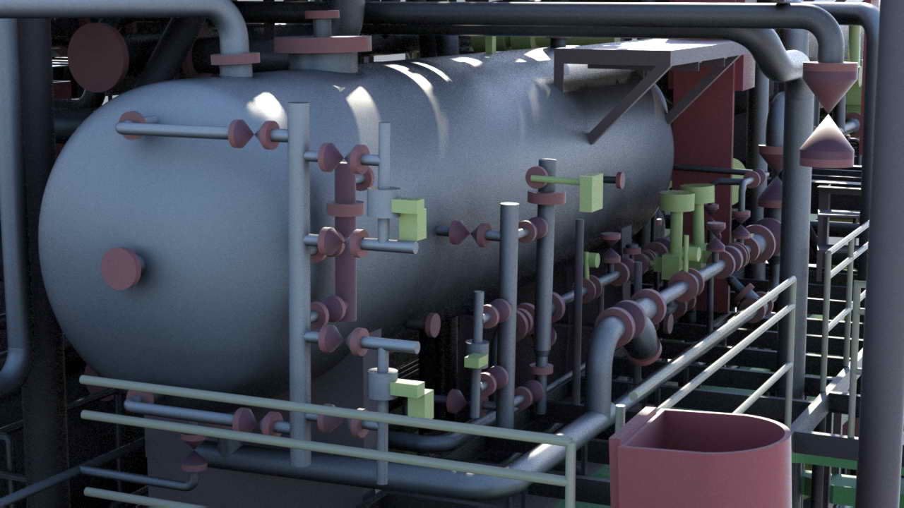
High accuracy of data enables the creation of detailed 2D and 3D documentation with exceptional resolution and detail.
Minimizes errors in collision detection thanks to precise 3D data.
Rapid measurements reduce the risk associated with working in hazardous or high-risk areas.
Significantly faster data acquisition compared to traditional methods, resulting in cost savings and reduced downtime.


